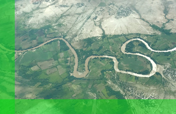
In its mission to address the challenges brought about by the frequent flooding in the Shabelle River Basin, Shabelle River Initiative (SRI) uses 1D and 2D hydraulic models to simulate flood events. This allows us to better understand risk factors and propose solutions in mitigating these risks. We carry out risk assessments to determine potential sources, determine flooding extent, and recommend measures to protect all stakeholders of the Shabelle River Basin.
Our studies cover the following areas:
- Floodplain Mapping
- Flood Level Assessment
- Flood Prevention and Protection
- Flood Routing
Get in Touch
Would you like to know more about our organization? Feel free to contact us to know more.